 Withrow Springs emerges from a small cave and flows for about one mile
before joinging War Eagle River.
 Two placques have been installed near the springs. One plaque commererates Richard Withrow, an early settler to the area originally from Tennessee, who established the first gristmill near by and for whom the springs are named. The other plaque commerates Roscoe V. Hobbs who donated the land for the park on January 29, 1962, after being urged to do so by his friend, Governor Orval Faubus, a Madison County native. The park opened in 1965.
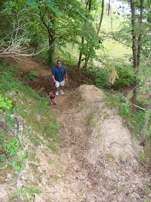
 Chuck and Wiley standing in front of the cave from which the spring emits.
 After leaving the cave, the spring water flows into small pool and through a series of man made waterfalls. It appears this stone and concrete work was done years ago and is crumbling away in spots. It would be nice if the spring had been left in it's natural state.
 A large tree grows next to the spring and pool. I loved the huge exposed roots.
 You can climb up behind the spring onto the top of the cave from where the spring emerges.
It is a steep climb.
You can climb up behind the spring onto the top of the cave from where the spring emerges.
It is a steep climb.
 Pretty moss and other vegetation grows abundantly in the pool formed by the spring.
 Looking back into the dark cave. It is too small to walk inside, though you could possibly crawl inside. We shone a flashlight inside but didn't see much, not even any bats.
 One of the man made waterfalls.
 More distant view of the waterfall with the cave just around the corner.
 Another man made waterfall a little further along the stream created by the spring. The stone wall was covered in moss. We saw a large snake near by who slid into the water and disappeared without a sound or care.
 Clear spring water below the mossy wall.
 More clear stream with lots of varied plants growing within.
 The spring area is next to a large parking lot which anyone can access. Somehow I had imagined hiking far into the hills to reach the spring and was slightly disappointed to discover it near the road and across from a large swimming pool operated by the state park.
 Wiley splashing through the stream .
 Wiley posing under a small overhang of rock. You can see how fast the stream, which is all spring water gushing from the cave just a few yards back, is flowing.
 A pretty spot with a more natural look and no 1960's era improvements.
 An enthusastic Wiley being held back by Chuck! So much too see....

Withrow State Park does have lots of nice areas such as this which
are perfect for small children to wade and play.
 The stream empties into a large pond which at first appears to be full of scum. Upon closer examination you realize the pond is alive with plant growth. The water is actually very clear but appears to be a perfect environment for all kinds of trailing underwater vines and algae. In turn, this makes for the perfect place for fish. We saw many trout swimming in the pond. We also were serenaded by frogs which jumped into the water ahead of us as we walked along the edge of the water. The spot is very pretty with plenty of benches for sitting.
 A fish swims in the green pond.
 A closer view of the clear water filled with plants. A living pea soup.
 I personally found this one of the prettiest and most interesting spots in the park. There are many "hot" and "cold" springs in Arkansas. If a spring is less than 80 degrees, it is considered a cold spring. I believe I read somewhere Withrow Springs maintains a steady temperature of around 54 degrees.
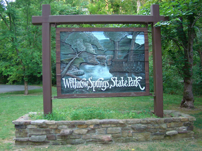
 Withrow Springs is a 786 acre park located in the Ozark Mountains of Northwest Arkansas. For more information on the park, visit: http://www.arkansasstateparks.com/